We had very clear skies on the evening before the November Supermoon, so I shot a sequence of moonrise images from just west of Albuquerque. These were shot at a 35mm focal length of 560mm and then cropped. There was some thermal convection in the air, so the images lost some sharpness.
Monday, November 14, 2016
Thursday, November 3, 2016
Bisti Badlands
The Bisti Badlands are part of the Bisti/De-Na-Zin Wilderness in northwest New Mexico. Roughly 70 million years ago, a river delta system deposited a 1,400 foot thick layer of jumbled sandstone, mudstone, shale and coal. These deposits have been uplifted and are now eroding rapidly, producing a wonderland of fantastical shapes. We spent a day hiking just a small portion of this area.
View from the parking area
As we hiked, we found several small washes with recently formed sediment ripples.
View from the parking area
As we hiked, we found several small washes with recently formed sediment ripples.
We often saw fragments of petrified wood.
There are many beds of lignite coal, some eroded nearly completely away. There are no marked/defined trails in the badlands, so we wondered if the stone on this small mound of coal was original or if someone had placed it there to mark the way back to the parking area.
Layers of reddish-orange rocks were formed by adjacent coal layers that had burned in the distant past. As these layers were eroded, small pieces of red rock spread over the nearby area.
One of the areas filled with hoodoos and other erosional shapes
There are many beds of lignite coal, some eroded nearly completely away. There are no marked/defined trails in the badlands, so we wondered if the stone on this small mound of coal was original or if someone had placed it there to mark the way back to the parking area.
Layers of reddish-orange rocks were formed by adjacent coal layers that had burned in the distant past. As these layers were eroded, small pieces of red rock spread over the nearby area.
One of the areas filled with hoodoos and other erosional shapes
Colorful peaks in the distance
We saw many of these colorful nodules.
Saturday, October 29, 2016
Kasha-Katuwe Tent Rocks National Monument
Kasha-Katuwe Tent Rocks National Monument is an area in northern New Mexico that is jointly administered by the BLM and Cochiti Pueblo. This is an area with a fascinating landscape eroded out of thick deposits of volcanic ash. Some of the distinctive formations are conical (teepee shaped) spires which give the area the name of Tent Rocks. One of the most popular hikes is through a narrow slot canyon.
A massive outcropping of layered volcanic ash
Thursday, October 27, 2016
Bandelier NM
We recently visited Bandelier National Monument. I had been to Bandelier many years ago, but this was Barbara's first visit. Ancestral Pueblo people lived here from approximately 1150 CE to 1550 CE. When conditions changed, the inhabitants of this area joined other nearby pueblo communities along the Rio Grande. Many of these pueblo communities still exist.
Bandelier contains a valley with sheer cliffs of soft volcanic tuff.
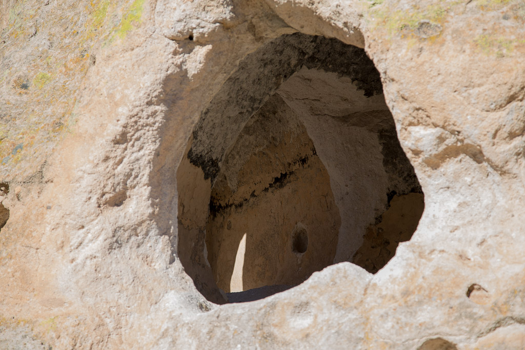
The cliffs contain many natural erosion caves that the pueblo peoples enlarged.
Some built multilevel pueblos against the face of the cliffs.
One can clearly see where holes were carved into the cliff to support the timbers that formed the ceilings of one story and the floor of the next.
The monument has provided ladders so that visitors can view some of the rooms carved out in the cliff.
Above roof level there were some visible petroglyphs carved on the cliff.
(Can you find the turkey?)
Some villages were built on the valley floor with rooms surrounding a central plaza with a kiva.
An interesting dried grass seed head
Subscribe to:
Posts (Atom)