Santa Ynez Valley

Santa Ynez Valley
Our Backyard

Sunday, August 26, 2012

Dawson City

After driving across the Top-of-the-World highway, we spent a few days in Dawson, in the Yukon Territory.  Dawson primarily exists because of gold mining.  The famous Klondike gold rush of 1896 was set off by gold discoveries in nearby creeks.  Being at the confluence of the Yukon and Klondike Rivers, Dawson was a natural hub for the gold mining activity.


Like much of the northern interior, Dawson sits on an area of permafrost (a layer of permanently frozen soil).  When a heated building is placed directly on such ground, over time the heat from the building causes the permafrost layer to start melting, creating an unwanted quagmire under the building.
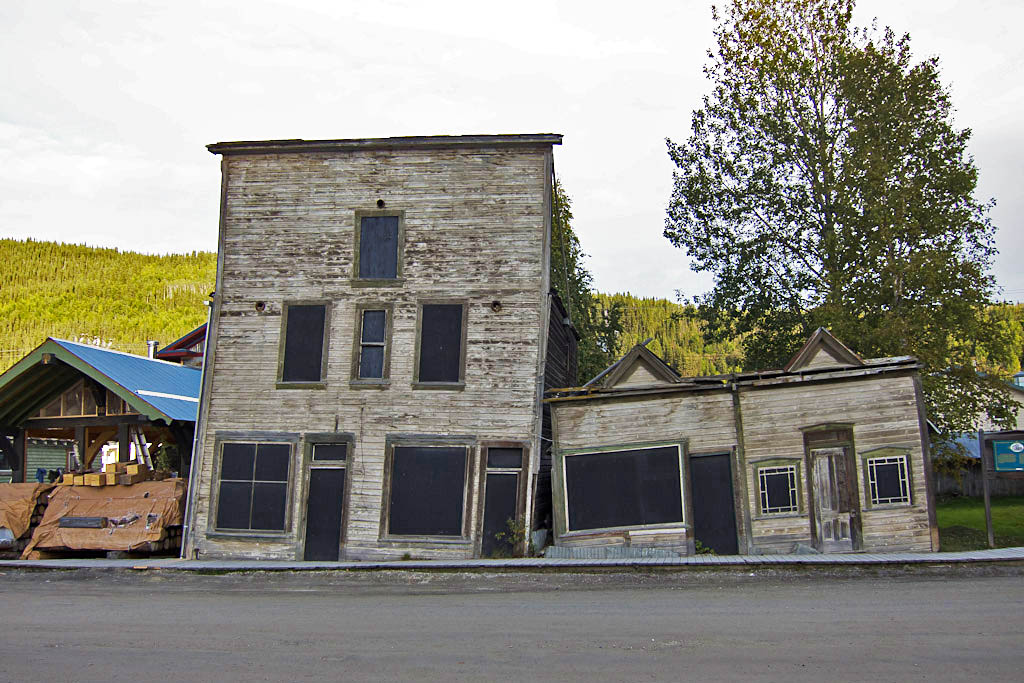
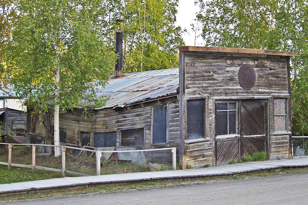

For a number of years Dawson was also the home of American poet Robert Service.  Service used the Yukon and the Klondike gold rush as subjects for many of his poems.
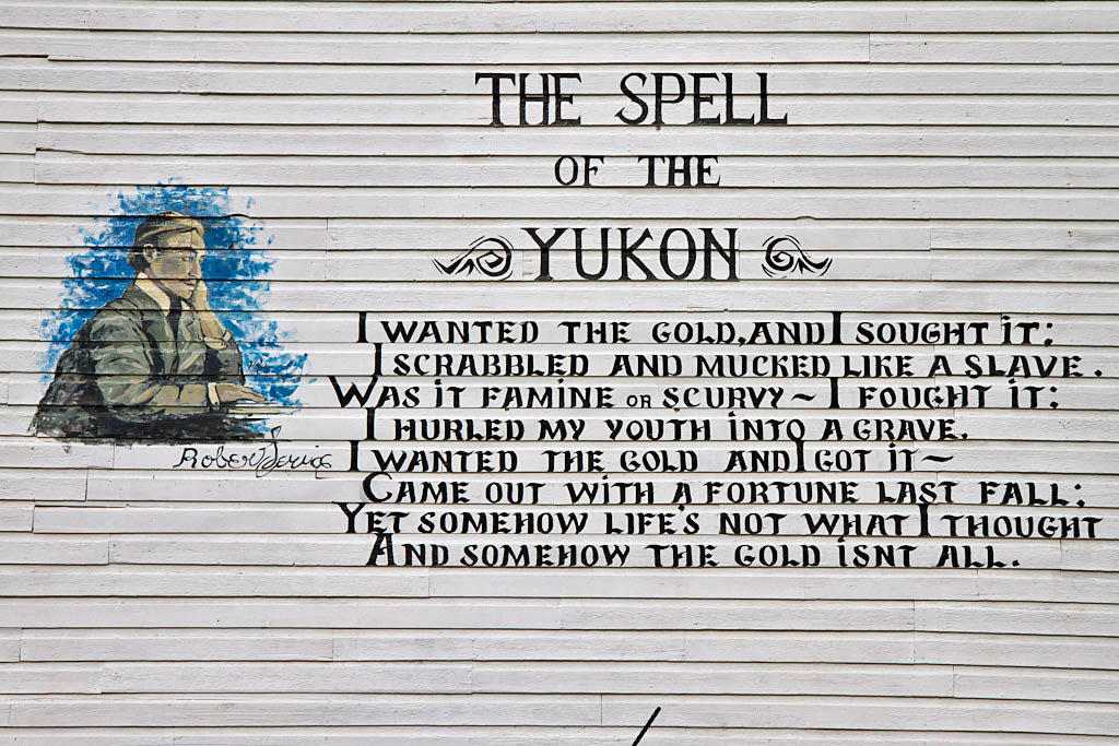

The cabin Robert Service lived in is now owned and managed by Parks Canada.
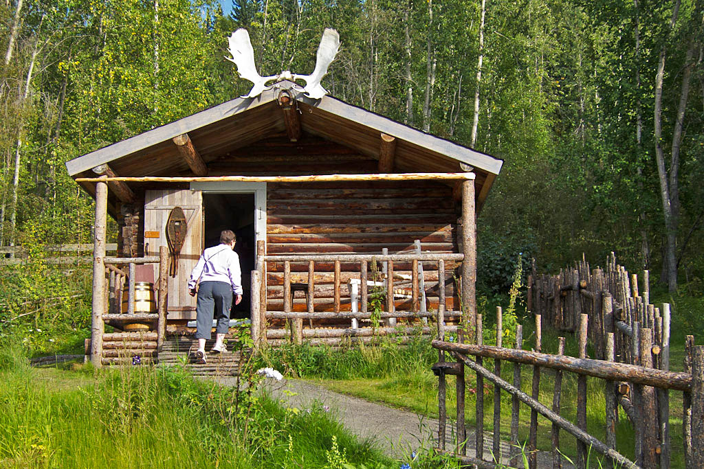

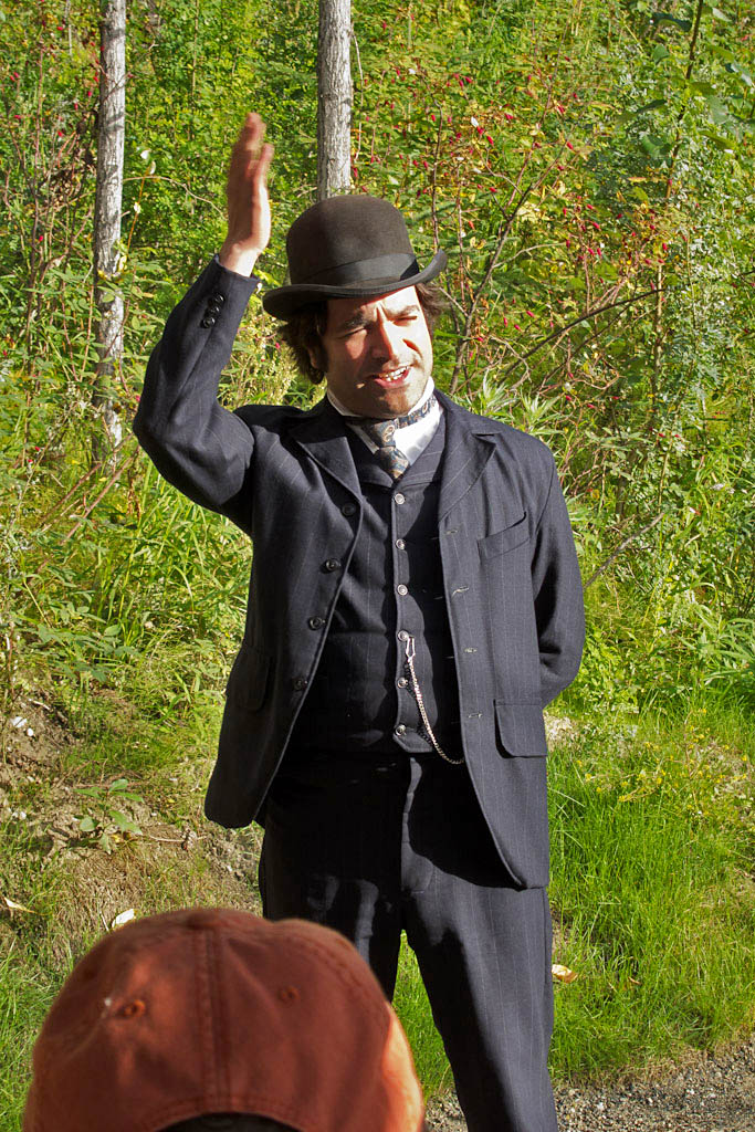
This fellow gave a great talk about the life of Robert Service at the cabin.

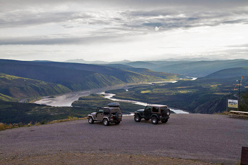
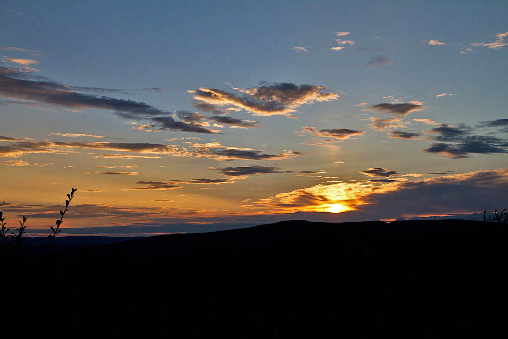
Right behind the city rises a hill called Midnight Dome, with a paved road leading to the top.  We watched the sun setting from there one evening.

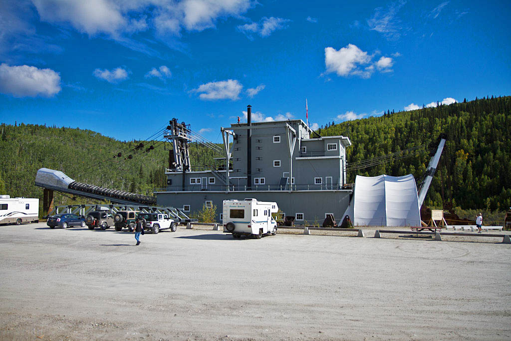
Gold dredges worked most of the streams near Dawson.  The largest such dredge in North America was the Yukon Consolidated Gold Company's dredge No. 4.  This one dredge mined nearly 9 million dollars of gold between 1913 and 1959.  Dredge No. 4 was acquired by Parks Canada for public tours and display.

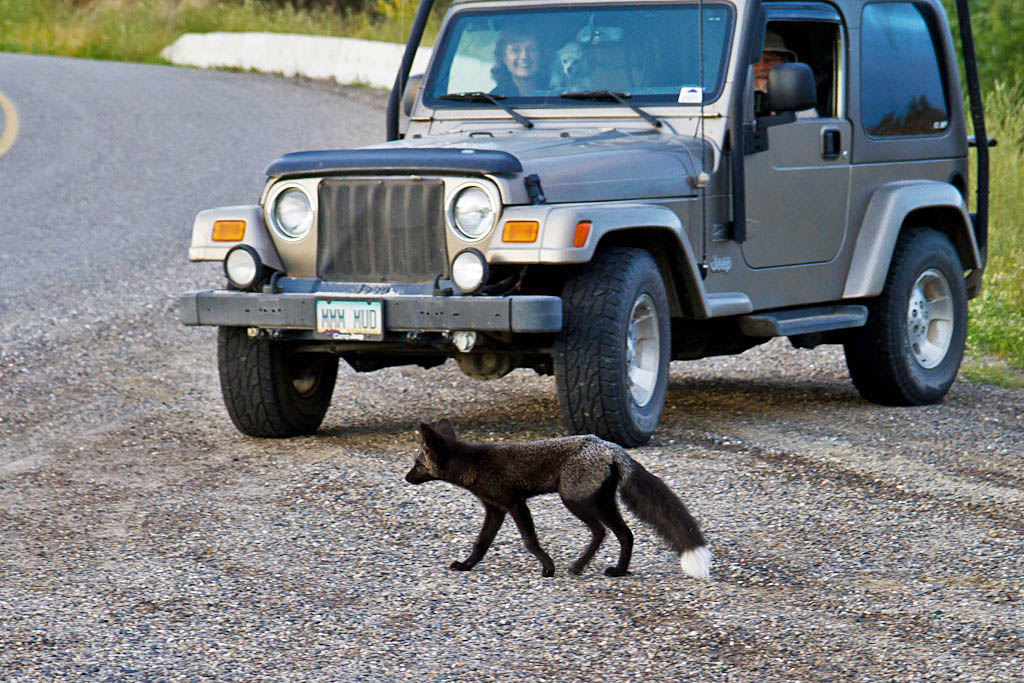
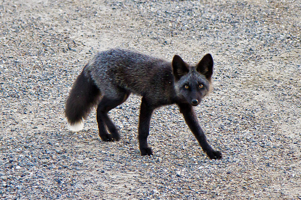
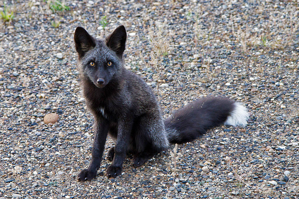
We came across this black furred variant of a red fox that seemed extremely comfortable with people and vehicles.

Saturday, August 25, 2012

Top of the World

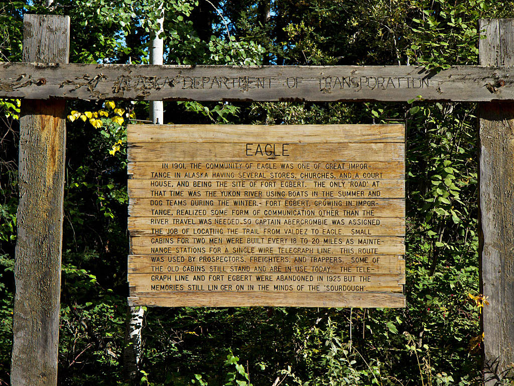
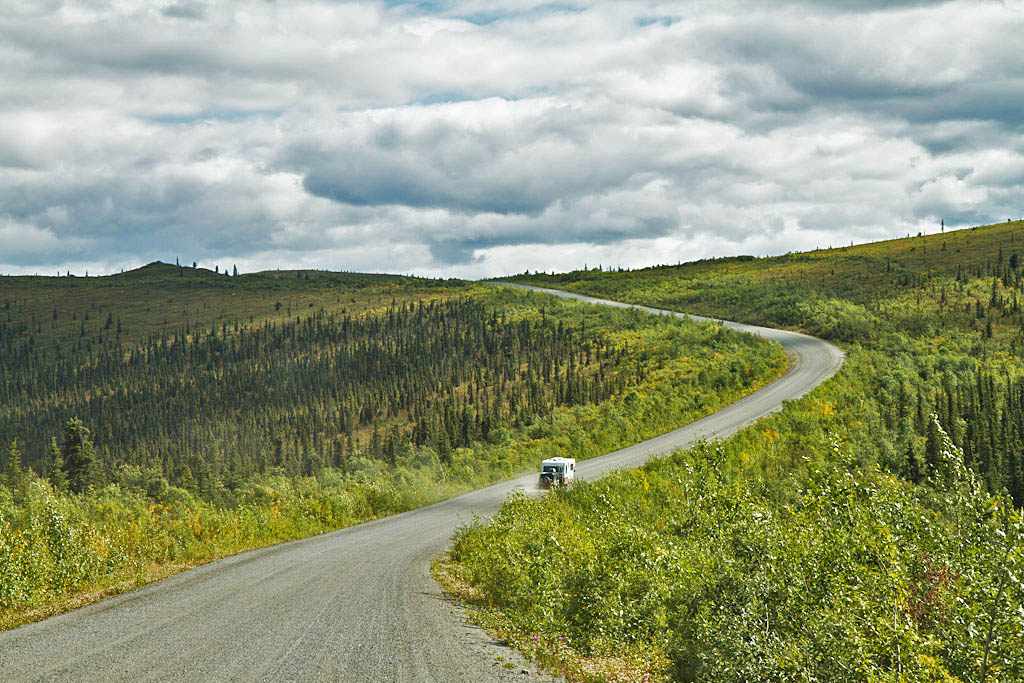
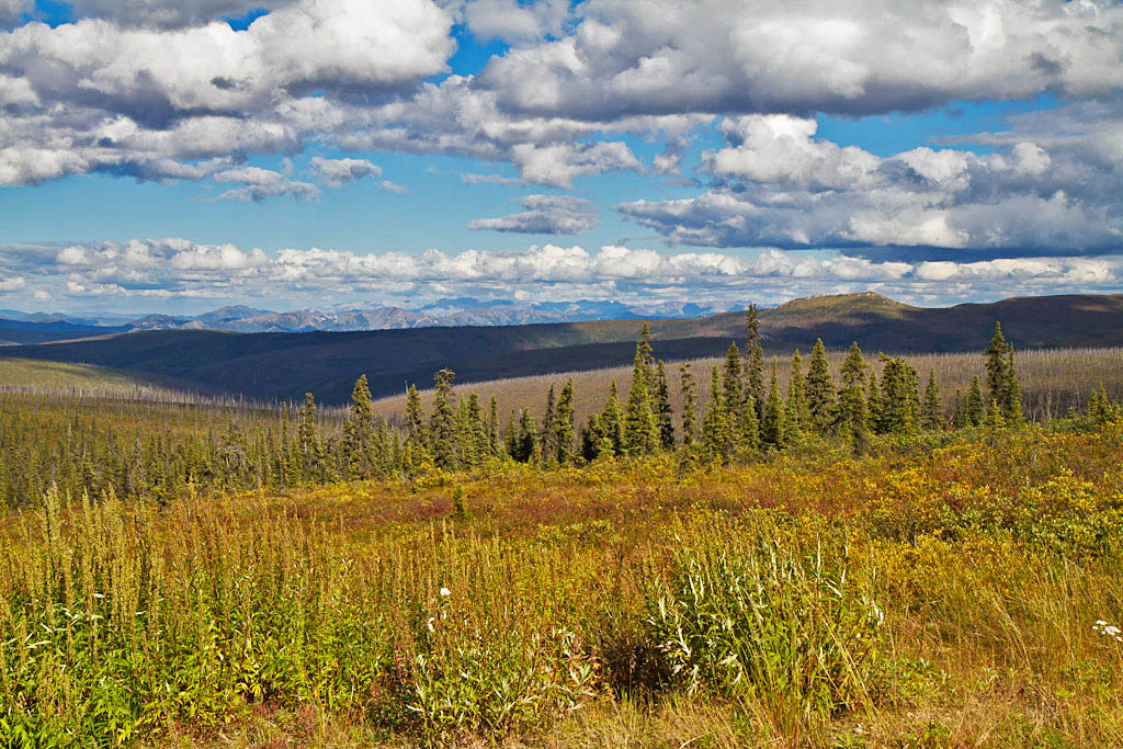
After the Denali Highway we headed up the Richardson Highway to Delta Junction (where the Alaska Highway ends) and then down the Alaska Highway back to Tok.  We had a couple of packages that had been sent to Tok and luckily both were there waiting for us.  After filling up on fuel, propane and washing the rigs (free use of their wash area with a fill-up at the Tesoro station), we headed to the Taylor Highway.  The Taylor Highway starts at the Alaska Highway near Tok and runs 160 miles north to the small town of Eagle on the Yukon River.  Only the first 60 miles are paved, the rest of the road is gravel.  At mile 96 the Taylor connects to the "Top-of-the-World" highway which runs 79 miles east to the city of Dawson in Canada's Yukon Territory.  For most of its length this highway is also gravel.


After starting up the Taylor Highway, we pulled off on a roadside pull-off with a nice view to spend the night.  We had a rather nice sunset that evening.


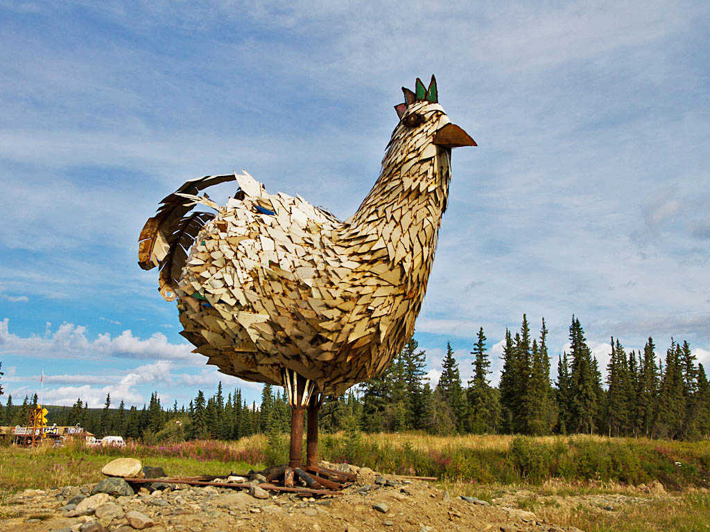
The next day we stopped at the tiny "town" of Chicken.  Chicken exists because of gold mining in the area.  They still mine a little gold and lots of tourist pockets here.  The story is that the miners wanted to name the town Ptarmigan.  But because they could not agree how to spell ptarmigan and since the ptarmigan was also called the "Alaska chicken" it ended up being named Chicken.

One of two conspicuous sights in Chicken.  This large metal sculpture was supposedly made at a Homer high school from recycled metal school lockers.


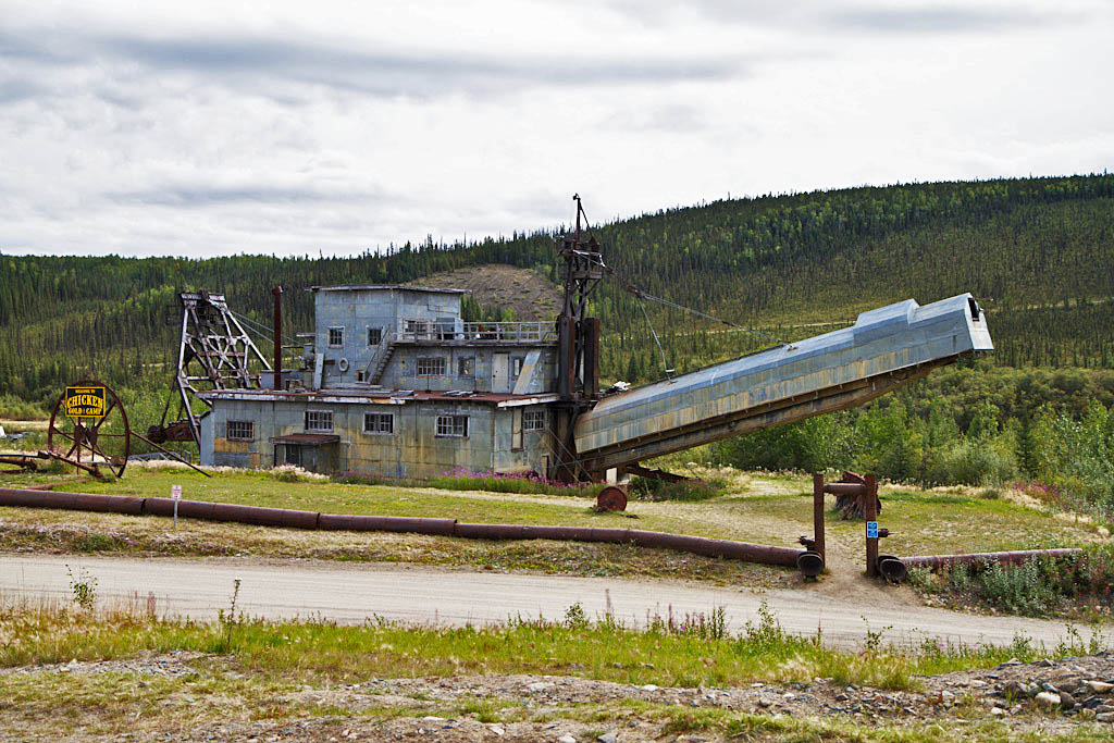
Another notable landmark is the Pedro Dredge.  This is one of the most complete remaining bucket line gold dredges left in Alaska.  In the middle of the 1900s there were many such dredges mining placer gold in Alaska and the Yukon.


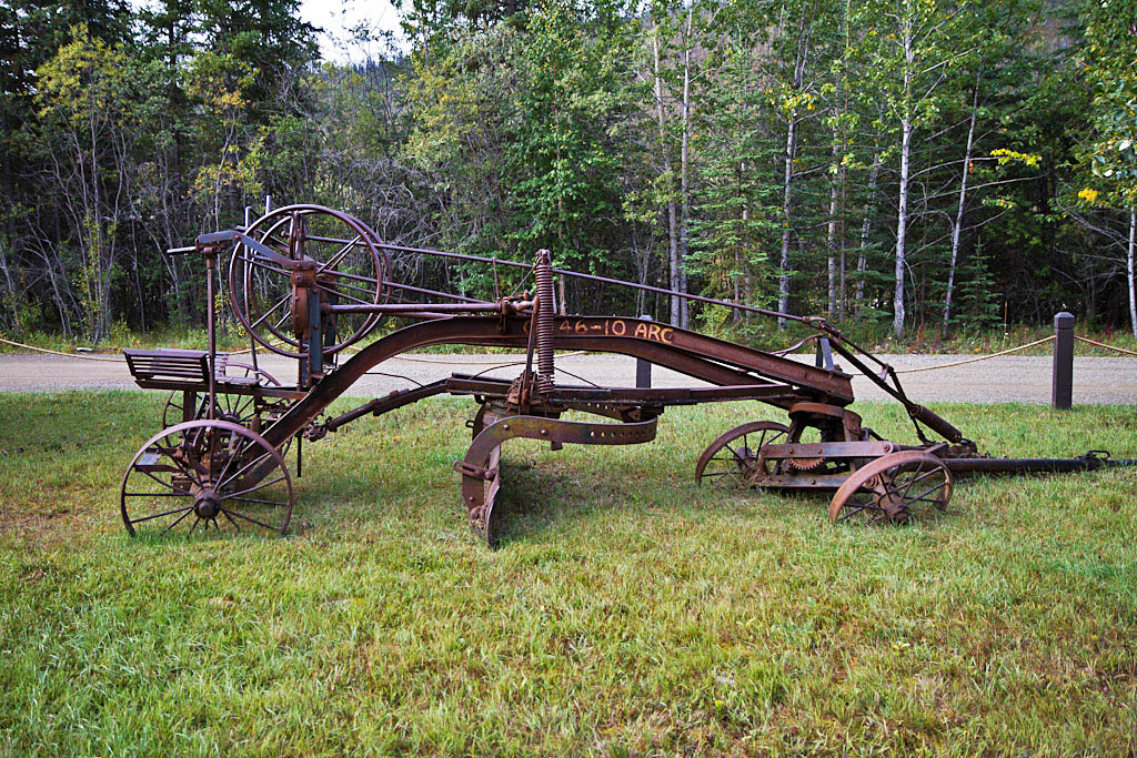
We stayed at the Walker Fork BLM Campground north of Chicken.  Near the entrance they had this neat antique road grader.


Along the road to Eagle


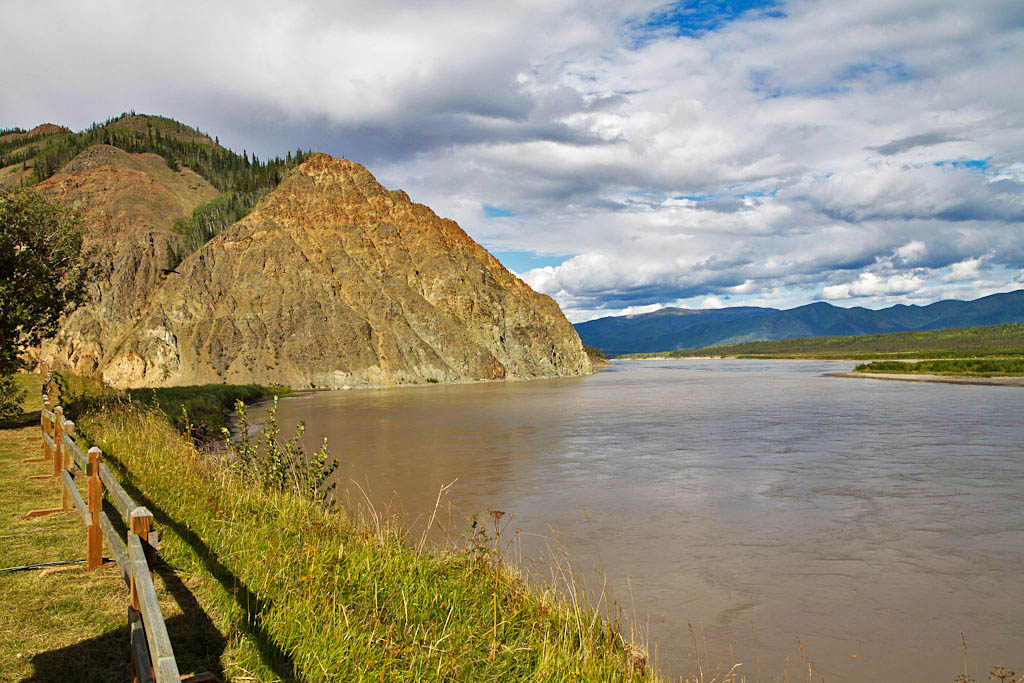
The town of Eagle was named after Eagle Bluff along the Yukon River.  Eagle Bluff was named for the Bald Eagles that nested there.


The Top-of -the-World Highway


Tuesday, August 21, 2012

The Denali Highway

The Denali Highway has a reputation for being one of the more scenic roads in Alaska.  This mostly dirt and gravel highway runs for 134 miles between the Parks and Richardson Highways.  Until the Parks Highway was built between Fairbanks and Anchorage, the Denali Highway was the only road to Denali National Park.  We had actually driven across the Denali Highway during our visit in 2005.  But the smoke from the many wildfires in Alaska that summer reduced our visibility so much that saw very little of the scenery.  We had excellent weather during this trip.


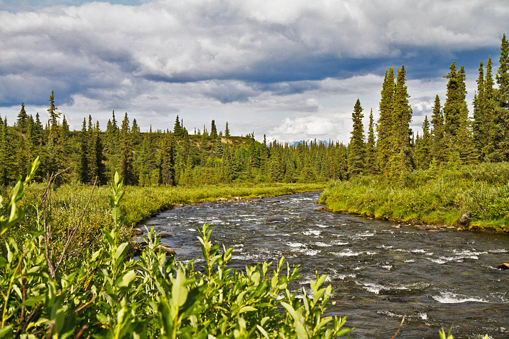
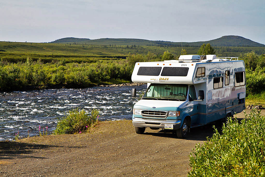
River next to our first campground.


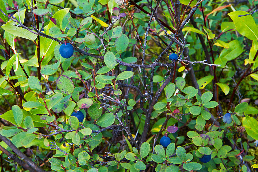
The wild blueberries were ripening.  We saw many people out gathering berries.

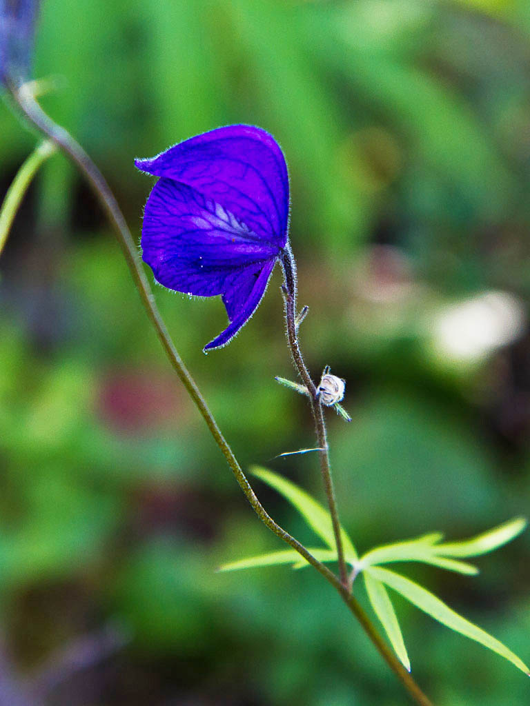
Monkshood flower


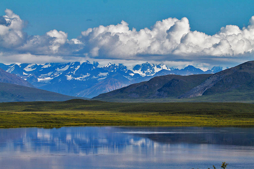
View along the Denali Highway


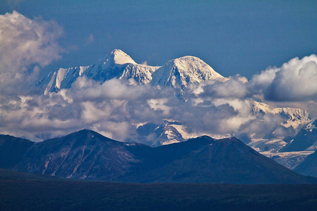
Mount Hayes


Camping spot for second night


Another view along the highway


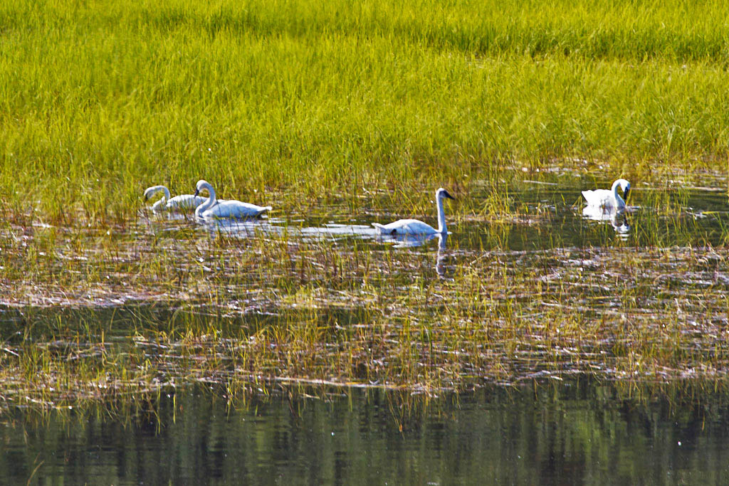
We often saw swans in the larger ponds.

Maclaren River


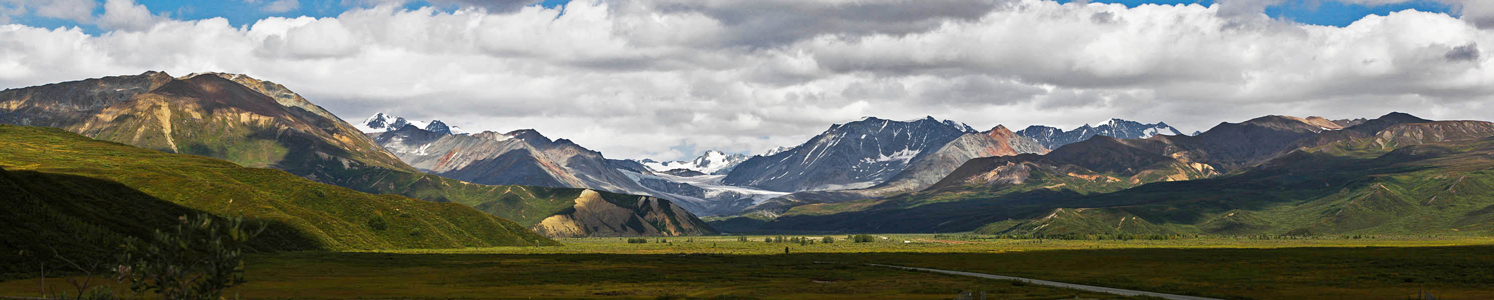
The eastern part of the Alaska Range


Gulkana Glacier


Halibut Cove

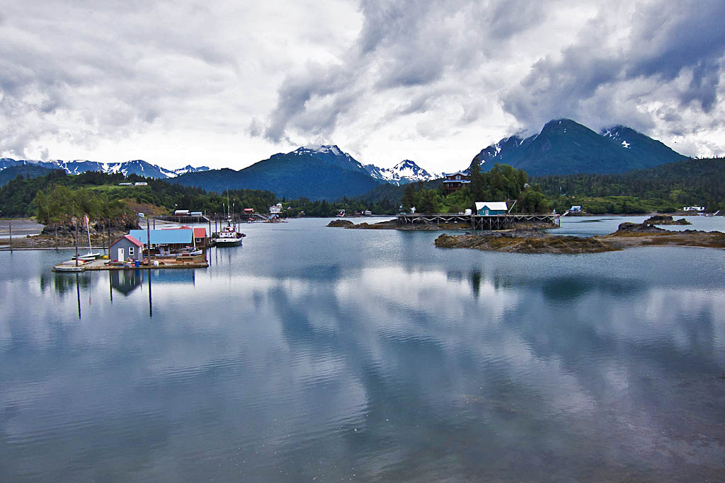
We had gotten several recommendations to visit Halibut Cove while we were in the Homer area.  Halibut Cove is a picturesque community across Kachemak Bay from Homer.  Before we left Homer we booked an afternoon excursion to visit Halibut Cove.

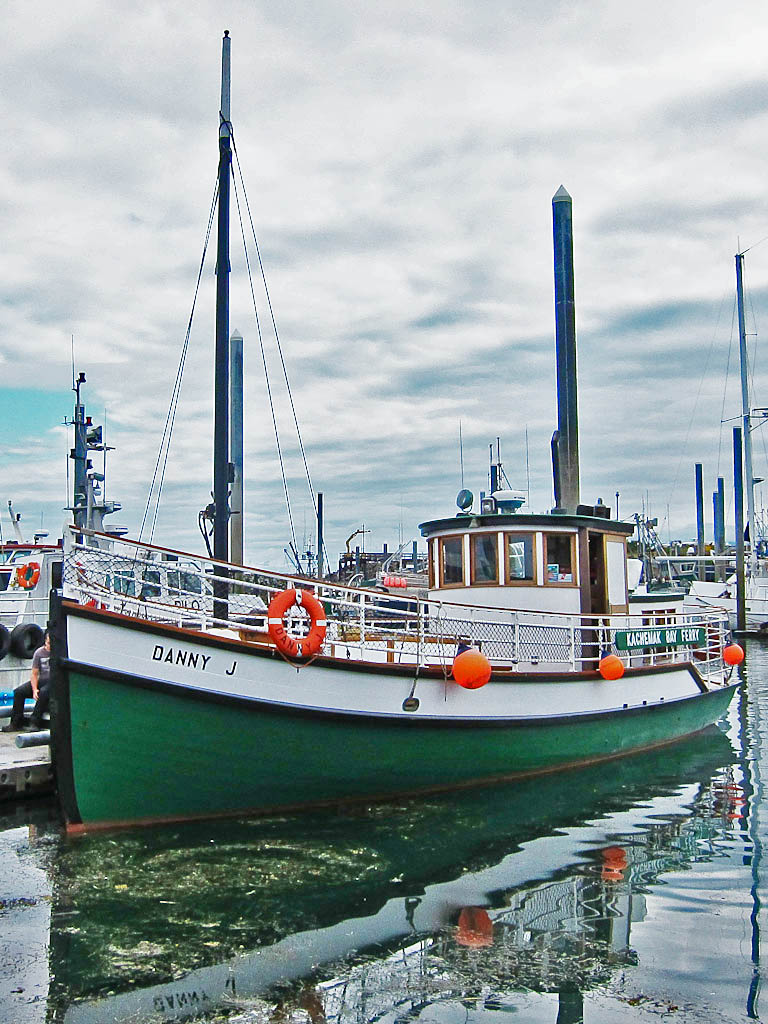
The Danny J is the boat that ferries people to Halibut Cove and back.


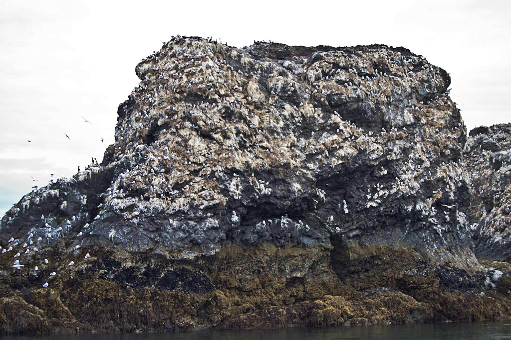
Enroute to the cove, we passed Gull Island which is a rookery for lots of seabirds.


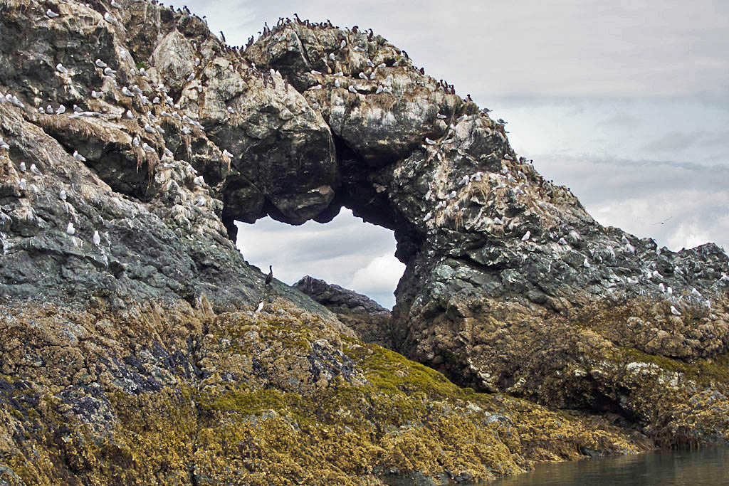
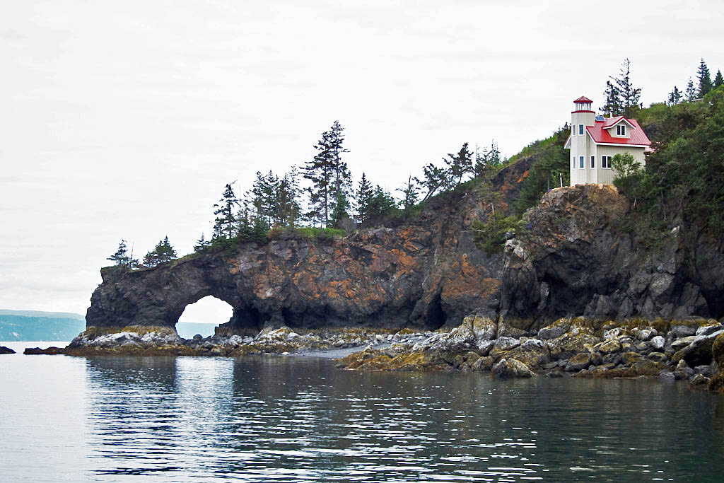
Near the entrance to Halibut Cove is this nice sea arch and a mini-lighthouse built by a private individual.


Halibut Cove


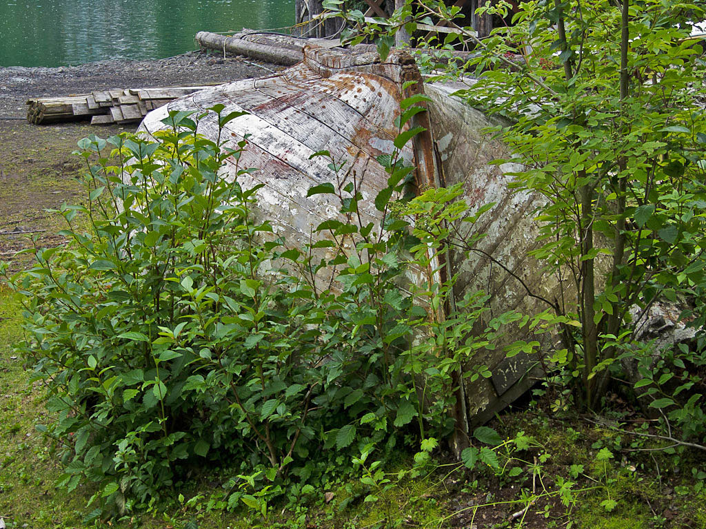
An old wooden boat hull on shore.


Friday, August 10, 2012

How to Catch a Salmon

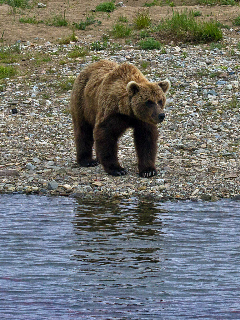
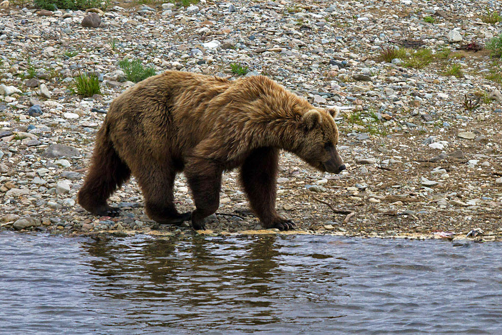
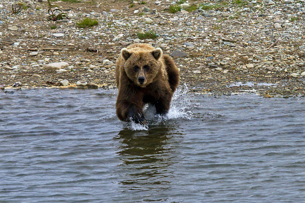
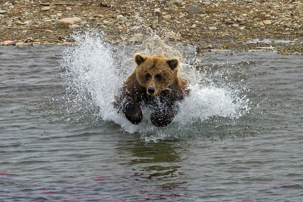
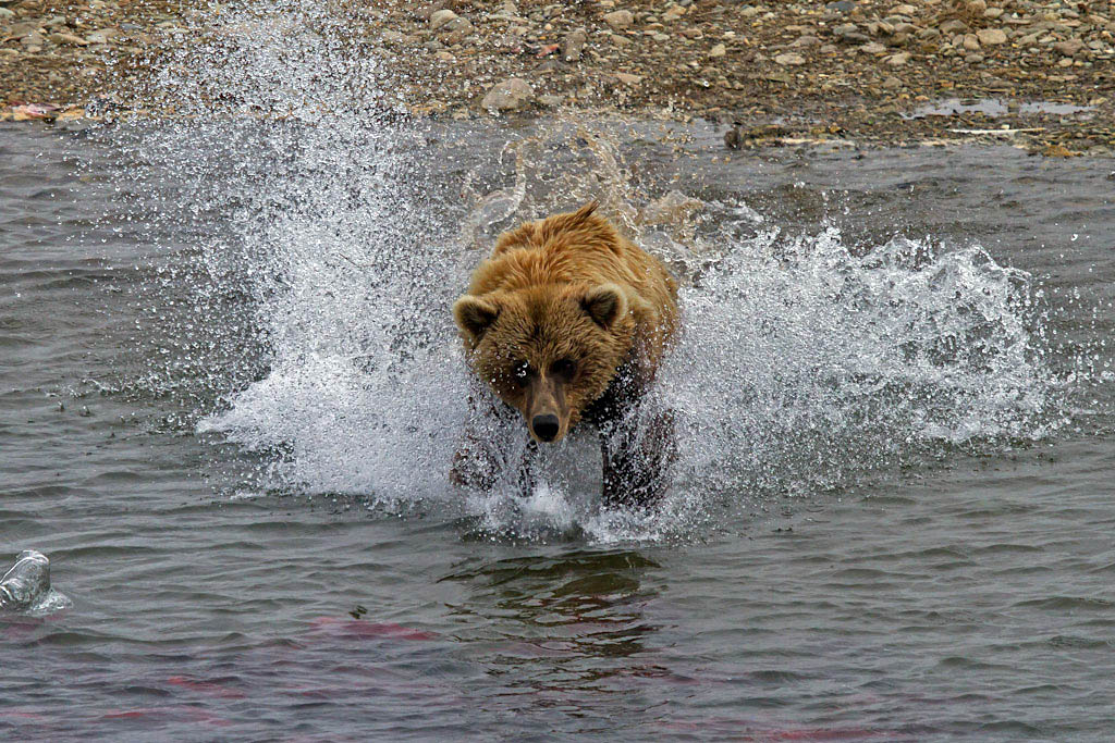
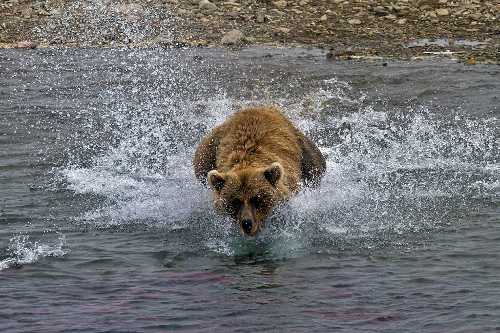
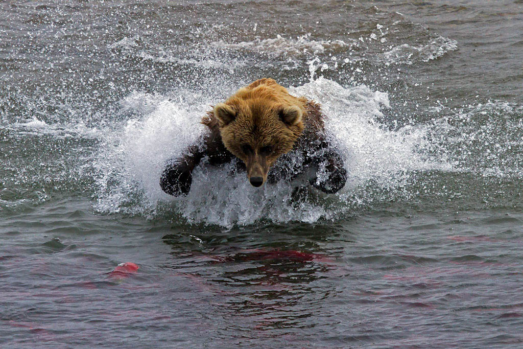
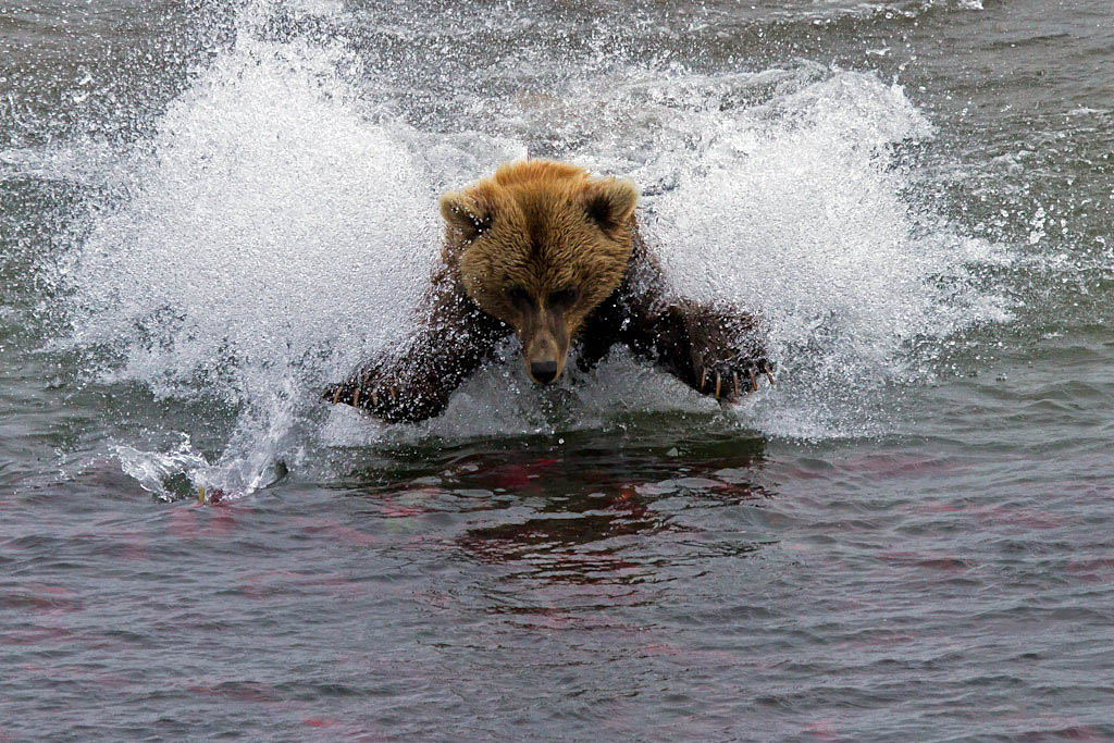
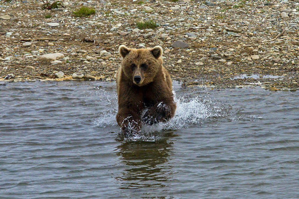
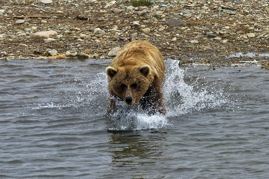
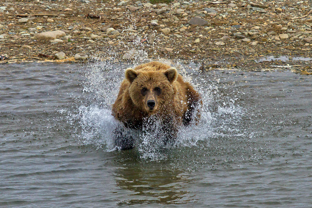
While we were bear viewing at Moraine Creek, we were lucky enough to have this bear come to the bank directly opposite where we were sitting and initiate a fishing charge directly towards us.

First, nonchalantly look over the situation.


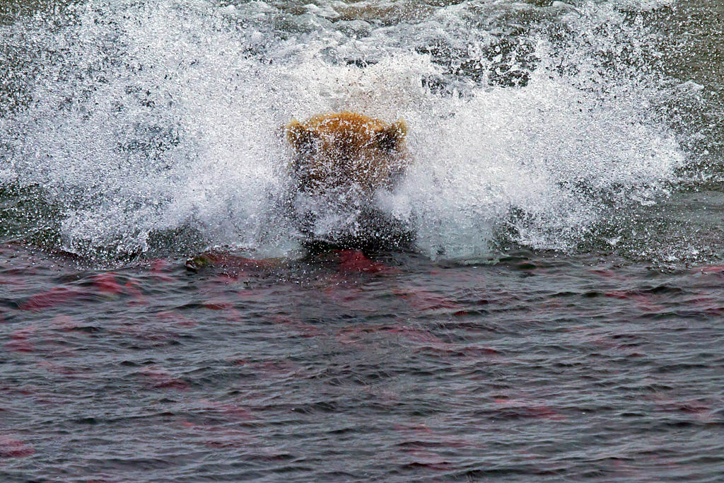
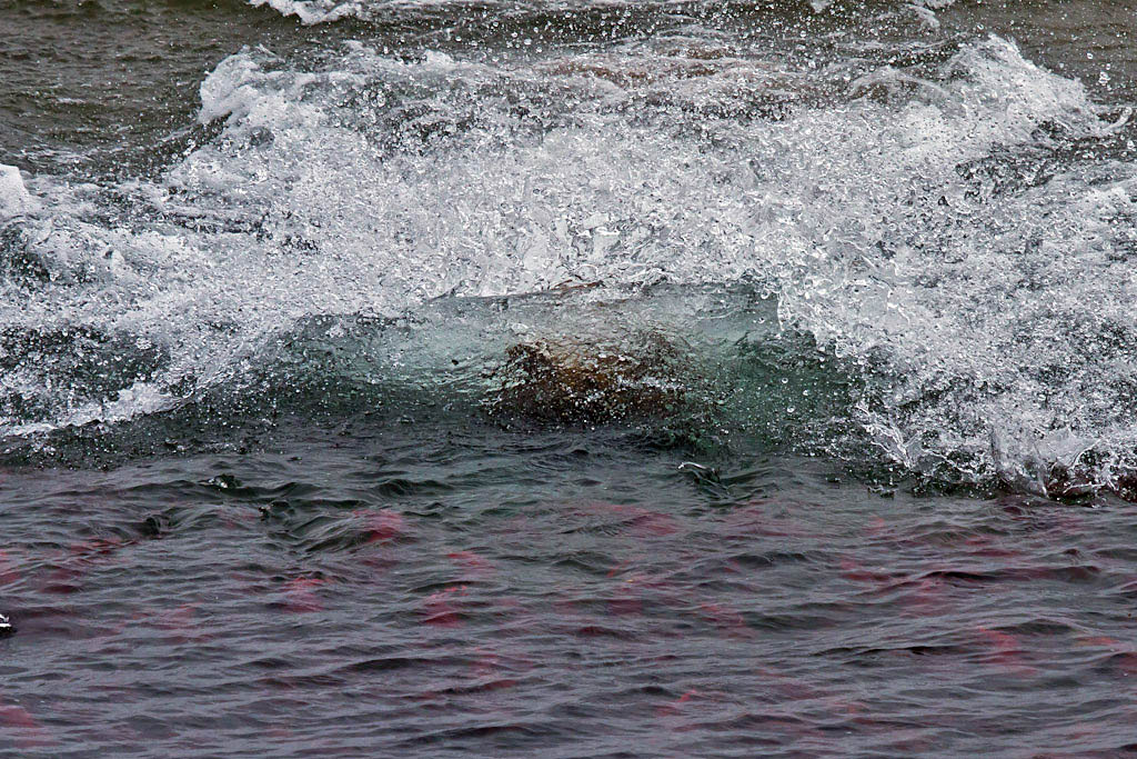
Once a target has been selected, make your charge as quick as possible.  The following sequence lasted less than 3 seconds!


Success!